GIS
in Forestry and Natural Resources:
Current
Analytical Capabilities and Future Directions
Presentation
for Faculty Delegation from Wondo Genet College of Natural Resources, Hawassa University, Ethiopia
Warner
College of Natural Resources, Colorado State University — Friday, April 11,
2014

Presentation by Joseph K. Berry

Posted
at http://www.innovativegis.com/basis/present/EthiopianDelegation/
______________________________________
Presentation:
GIS in Forestry and Natural Resources: Current Analytical
Capabilities and Future Direction
This presentation discusses
underlying concepts, capabilities, considerations and challenges facing natural
resources faculty in moving beyond mapping and instilling the ability to
“think with maps” in their students.
Handout — Workbook
Part 1, Part 2, Part 3, Part 4 (print in
order)
— PowerPoint
(click to access materials)
Also see…
-
Future Directions of GIS in
Forestry: Extending Grid-based Map Analysis
and Geo-web Capabilities — PowerPoint slide set and live video of
keynote presentation for Esri Forestry
GIS Solutions Conference 2012.
http://www.innovativegis.com/basis/Papers/Other/Esri_Forestry2012/
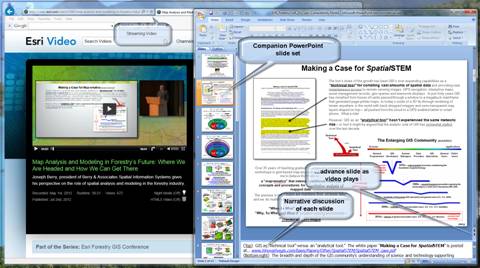
…download and run companion PPoint slides in
separate window for improved graphics; advance slides with presenter.
-
A Brief History and Probable Future of Geotechnology — paper on the evolution and future
directions of GIS.
http://www.innovativegis.com/basis/Papers/Other/Geotechnology/Geotechnology_history_future.htm
-
An Analytical Framework for GIS Modeling — paper presenting a conceptual
framework for map analysis and GIS Modeling.
http://www.innovativegis.com/basis/Papers/Other/GISmodelingFramework/
-
GIS Modeling and Analysis — book chapter on grid-based map analysis and
modeling.
http://www.innovativegis.com/basis/Papers/Other/ASPRSchapter/
-
Making a Case for SpatialSTEM: Spatial Considerations in Science, Technology,
Engineering and Mathematics Education — paper
describing a framework for grid-based map analysis and modeling concepts and
procedures as direct spatial extensions of traditional
mathematics/statistics.
http://www.innovativegis.com/basis/Papers/Other/SpatialSTEM/SpatialSTEM_case.pdf
-
Math/Stat Classification of Spatial Analysis and Spatial
Statistics Tools (Spatial Analyst by Esri) — paper listing ESRI Spatial Analyst module
operations by traditional mathematics and statistics categories.
http://www.innovativegis.com/basis/Papers/Other/Esri_Forestry2012/SA_SS_Operations_SpatialAnalyst.pdf
_______________________________
Beyond Mapping Compilation Series,
Joseph K. Berry
 This demonstration session describes the access,
content and searching procedures for the nearly 1000 pages and more than 750
figures in the Beyond Mapping
Compilation Series of Beyond Mapping columns appearing in GeoWorld
(formally GIS World) magazine from March 1989 through December 2013. The online Series provides a comprehensive and longitudinal
perspective of the underlying concepts, considerations, issues and
evolutionary development of modern geotechnology. www.innovativegis.com/basis/BeyondMappingSeries/
This demonstration session describes the access,
content and searching procedures for the nearly 1000 pages and more than 750
figures in the Beyond Mapping
Compilation Series of Beyond Mapping columns appearing in GeoWorld
(formally GIS World) magazine from March 1989 through December 2013. The online Series provides a comprehensive and longitudinal
perspective of the underlying concepts, considerations, issues and
evolutionary development of modern geotechnology. www.innovativegis.com/basis/BeyondMappingSeries/
Description (click to access
Handout .pdf file; scale the oversized poster file to
fit page when printing on 8.5x11.0 paper)
_______________________________