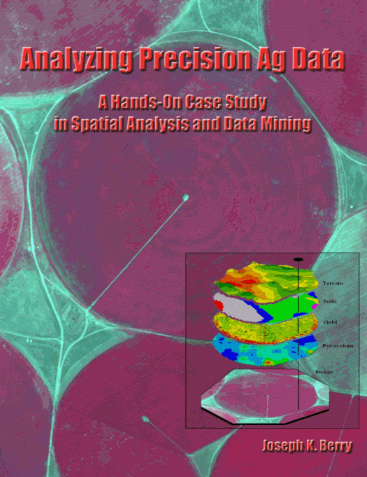
Analyzing Precision Ag
Data
A
Hands-on Case Study in Spatial Analysis and Data Mining
Joseph K. Berry,
Analyzing Precision Ag
Data brings together underlying concepts
of map analysis with concise examples and hands-on experience in analyzing
precision agriculture data. The
companion software provides practical experience with data analysis techniques
within a case study format.
October, 2002 84 pages 8.5x11.0 49 illustrations US$45.00
…this book crosses the chasm from simply mapping to map analysis
Book Organization
Analyzing Precision Ag Data is organized into eight topics
and two appendices that lead the reader from an understanding of the
fundamental nature of mapped data through a series of basic procedures used in deriving, analyzing and
applying spatial information. A case
study approach is used with each topic area describing the application of a set
of related analysis techniques. The
discussion is followed by a series of hands-on exercises providing practical
experience in applying the techniques.
The exercises include step-by-step instructions that are thoroughly annotated.
Companion Software
MapCalc software by Red Hen Systems is used for the hands-on
exercises. A free evaluation version of MapCalc is included with this
book. The software includes the basic
set of data and operations needed to complete the hands-on exercises; the
evaluation version expires after a two-week period. For more
information on the full MapCalc Learner
software ($21.95), visit…
www.redhensystems.com/mapcalc/
More Information and Ordering
BASIS Press
Phone:
970-215-0825
For
book inquires and ordering, please contact the following website (that also
contains additional information on spatial data analysis and applications):
www.innovativegis.com/basis/
October, 2002 84 pages 8.5x11.0 49 illustrations US$45.00
________________________________________________________
|
Joseph K. Berry is principal of |
Analyzing Precision Ag Data brings together underlying concepts of map analysis with concise
examples and hands-on experience in analyzing precision agriculture
data. This book will help readers
understand the nature of spatial data and the principles, procedures and
considerations used in investigating spatial relationships. A case study for a single field is used to
clearly illustrate the wealth of emerging analytical capabilities available
to scientists, agronomists, crop consultants and producers. Written in a concise
and straightforward manner, this book is intended for agriculture students
and professionals alike—anyone who wants to take precision agriculture beyond
maps to critical information for site-specific decisions. |
|
|
Forward by Grant Mangold Preface |
|